Hydro Geophysics
Nuclear Magnetic Resonance
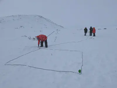
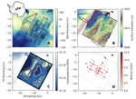
Geophysical nuclear magnetic resonance (NMR) uses the same technology as a medical MRI. It is the only geophysical method that directly detects water rather than inferring its presence from other properties like electrical conductivity. The technique can either be done non-invasively, by deploying a loop of wire at the ground surface, or through logging of existing wells.
The method works by exploiting the magnetic properties of hydrogen nuclei in water molecules. Those nuclei are polarized in a magnetic field (sometimes using the Earth’s natural magnetic field), then forced to resonate with a transmitted pulse at a specific radio frequency (the Larmor frequency). The measured NMR signal, decay of that resonance over time, gives information about the in situ water content, pore-size distribution, and other hydrogeological properties such as hydraulic conductivity.
Electromagnetic Methods
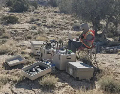
Time-domain electromagnetic (TEM) sounding, also called transient electromagnetic method, is a widely used geophysical technique for mapping subsurface electrical conductivity, which makes it particularly valuable for hydrogeological investigations. The method works by inducing electromagnetic fields in the subsurface and measuring the decay of those fields over time. A transmitter loop laid on the ground surface sends a pulse of electrical current, creating a primary magnetic field. When the current is abruptly shut off, this collapsing magnetic field induces eddy currents in conductive subsurface materials. These eddy currents generate their own secondary magnetic fields that gradually decay. A receiver coil measures this decay signal, and because deeper currents take longer to diffuse and decay, the time-varying response provides information about conductivity at different depths.